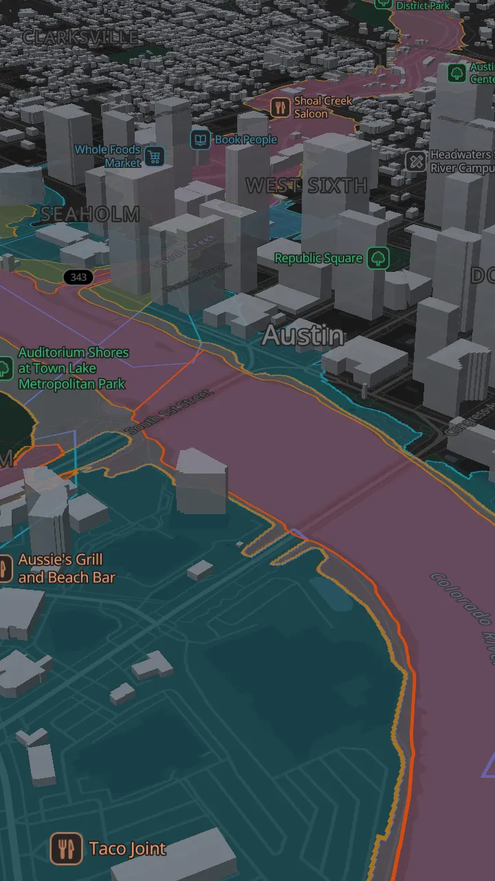
This map is not a survey, a flood certificate, an elevation certificate or an appraisal. Layers are copies of public data, shown with their source, licence and the date the source was last updated. They can lag the official record.
For flood insurance and development decisions, use the official maps: the FEMA Flood Map Service Center and the City of Austin FloodPro map.
No cookies. No account. Searches go to our geocoding provider and are not stored with anything about you.